THE 13 SUMMITS TOUR
by Giacomo Meneghello
Traversing the 13 peaks of Passo Gavia was an idea that I’d had in mind since the first day I decided to live in Valtellina — a valley that for me was like the Far West, one of those places I never tired of returning to, and I was immediately drawn by that string of 13 peaks surrounding the Forni glacial basin from Tresero to Cevedale. Iconic peaks, famous for the mountaineering routes that cut through their slopes and for winter traverses on skis.
What I was missing, but what I would soon find, was the right partner with whom to undertake such an ambitious project. We’re talking about 3,650 meters of elevation gain over 32 kilometers, following a trail that’s anything but a straightforward hike. Who could get excited about this project if not the ski mountaineering champion Robert Antonioli? He knows these mountains like the back of his hand. They’re his home, the mountains he trains on year-round, where he escapes in search of serenity. The same mountains that have seen him grow and develop year after year without ever losing his enthusiasm — enthusiasm that still shines through when you watch his eyes light up at the memory of an adventure in the mountains with heart pounding and legs burning with effort. The decision was made quickly, without too many words. Shall we do it? Let’s do it!
It was still dark when we left Rifugio Berni. A light breeze stirred the air, and our headlamps illuminated the path toward Tresero, the first of our peaks. It was still a long way away, and we were only at the beginning of our journey, of our adventure. We kept a good pace as we went up the trail that leads to the Seveso bivouac, from which we would attack the south ridge. It’s an exposed route, not very difficult but with sections that required particular attentiveness in the dark. Taking our time and watching where we placed our feet, we were soon at the top. The first peak!
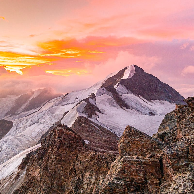
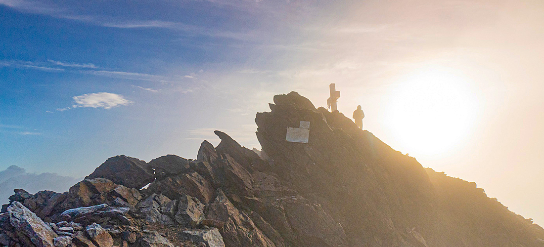
After the traditional photo under the cross, we moved on. There was a mystical atmosphere all around us, with a light fog flooding the valley. In a short time, we were back at the top again, this time on Punta Pedranzini, which we passed quickly in order to continue right away toward Monte Dosegù. While we were chatting, the sky had become enflamed with a light that made our entire adventure worthwhile. Instinctively, we stopped, and the camera started capturing images while Robert just enjoyed the moment. A short break on a journey that was definitely heading in the right direction.
The next destination was San Matteo, the highest point of our journey, at an elevation of 3,678 meters. Maybe also one of the trickiest sections of the entire route. The scorching summer had strained the glacier that extends along the sides of the mountain and the northwest ridge, which in good years is very easy, and that day it was a shoulder of ice that called for caution when moving. Even the small couloir that usually allows easy access from the glacier to the ridge was icy and at risk of rockslides. The only safe solution was to make a detour around the problem and stay out of harm’s way. Thus, climbing on rock that was anything but solid, we reached the summit. Now we’d bagged the fourth peak as well, and only three and a half hours had passed since we started.
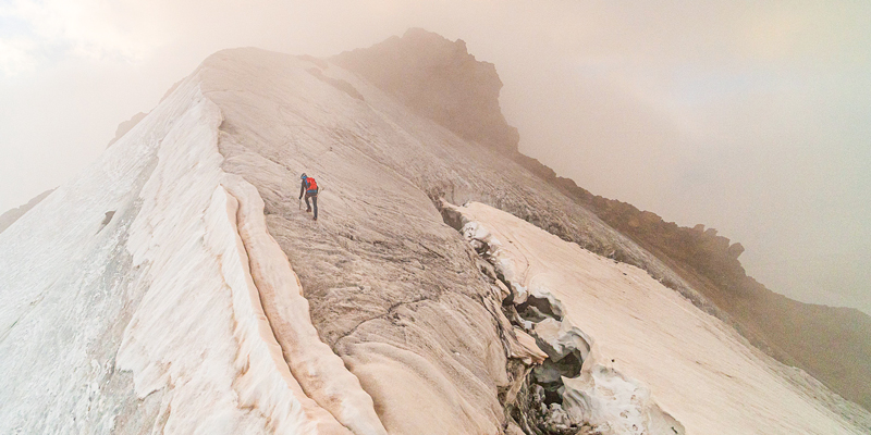
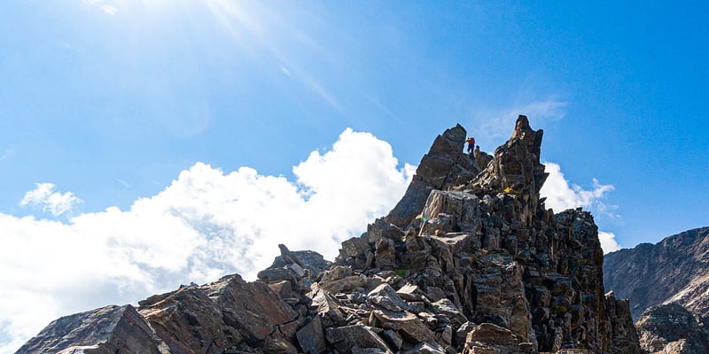
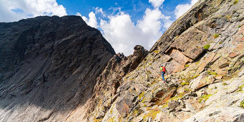
At the summit we allowed ourselves a short break, so after eating an energy bar I took the camera and started shooting, losing myself for a few minutes in the landscape.
"It’s spectacular here, Robert.” Robert? No reply. I turned around and he was gone. Those who don’t know him will think he’d already moved on again, in the grip of a competitive trance, but instead he had dashed down onto the ice cap to look for war relics, which were surfacing more frequently than ever that year due to the retreat of the glacier. But fortune doesn’t always favor the brave, and so, after about 20 minutes, I saw my adventure companion return with empty hands.
“No artefacts today” he reported, and we continued on.
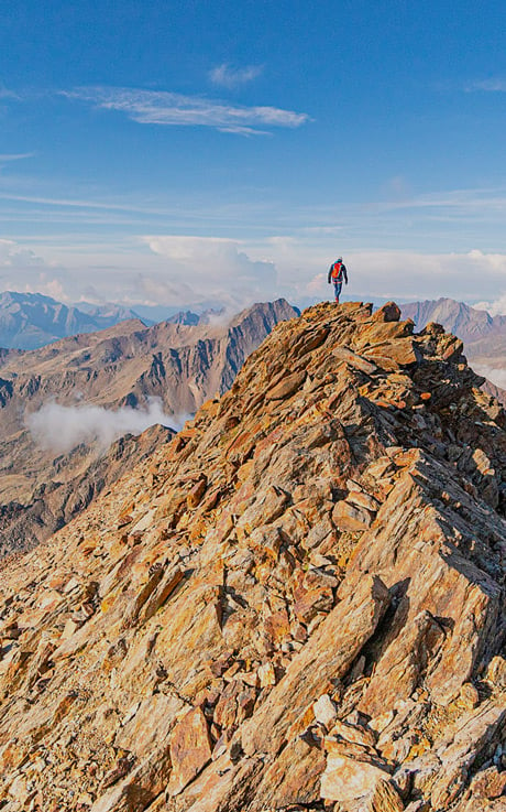
Descending rapidly from the top, we reached Passo della Sforzellina, which is located a few hundred meters beyond the notch where the hiking trail now passes that connects the Gavia pass with the valley descending toward Trentino. The north ridge of Corno Tre Signori begins here, even though there’s no real obligatory route. For this reason, we decided to continue to follow our instincts, staying approximately on the ridge line, climbing grade 2 sequences and some grade 3 sections on which Robert sped off like a real mountain goat. Carefully, I tried to imitate his sure steps, leaving him with the arduous task of verifying the solidity of each foothold.
Eight and a quarter hours had passed when we finally set foot on the summit of Corno Tre Signori, at an elevation of 3,360 meters. I must admit that I began to feel the fatigue here, but any pain was easily forgotten when I picked up my camera and started shooting a panorama that was too beautiful not to capture.
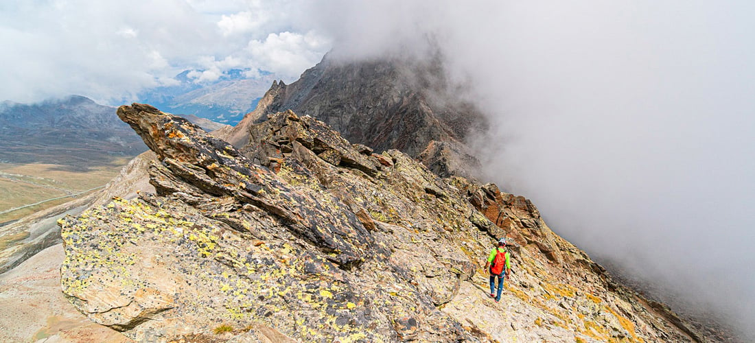
“Let’s go this way—it will be faster,” Robert suggested. And so I found myself climbing down among flakes of rock that offered good anchorage but also a certain verticality. A stretch that quickly (fortunately) delivered us to the trail on the normal Corno Tre Signori route and then to the Bocchetta dei Camosci. My legs were tired as I began to follow the agile Robert, who with incredible ease climbed up to the top of the Torre dei Camosci, a tooth of rock that rises into the sky for a few tens of meters as if to pierce it. Robert was smiling at the top. He was in his element.
Carefully, we entered a couloir that starts under the summit and, amid slippery scree and dirt, allowed us to rapidly lose elevation until we reached the lakes at the base of the mountain. The heat and drought had reduced them to small pools surrounded by mud similar to quicksand — we had to be careful when approaching them. Oh well, we wouldn’t have had time to soak our feet anyway.
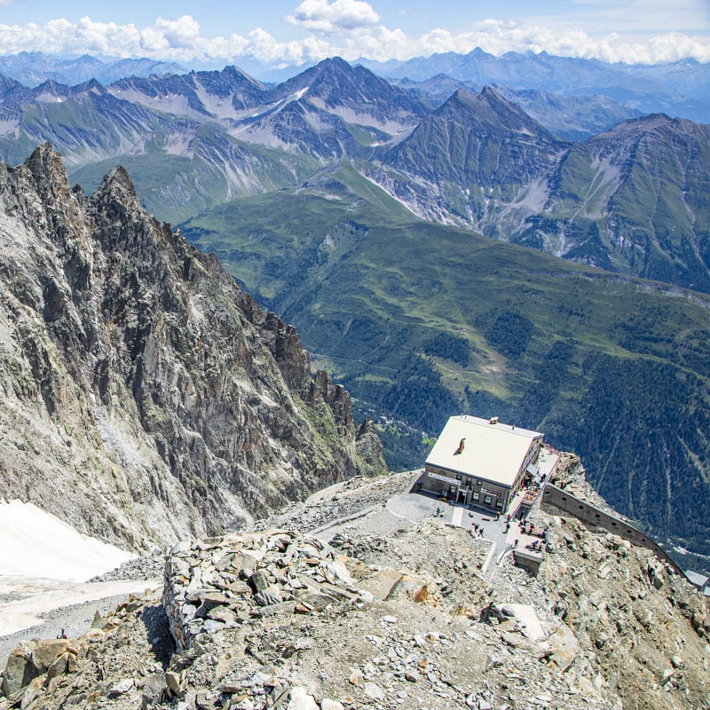
The eleventh peak awaited us: Mount Gaviola. Gaviola is the last peak on the southern side of the pass, and from here we would soon reach Rifugio Bonetta, a few hundred meters below us. Just in time, before hunger knock set in. After all, we’d been out for almost 10 hours, and when we told the managers of the rifugio, we had to let them offer us lunch and the first beer of the day.
Between the fatigue and the excellent food, in the end we spent more than hour stuffing ourselves at the rifugio. Then, almost reluctantly, we set off again. We were aiming for Monte Gavia, first following the old and easy military route, then on rocks up to the final tooth, which we reached by completing some grade 2 sequences.
Our eleventh summit welcomed us with the promise of rain. Gray clouds loomed on the horizon. We had to hurry.
An infinite line through the scree made us suffer at every step, until we reached the base of the climb to the notch that divides Passo Gavia from the Val di Rezzalo. And it wasn’t over yet — quite the contrary.
If the scree had made us suffer before, tackling unstable traverses with the tiredness of many hours of effort became even more unbearable. A little further on, the nightmare continued through a crumbling couloir, where we had to always stay focused and carefully consider every step. Meanwhile, we gazed at the sun-kissed green meadows on the valley floor with longing. A distant mirage, which we couldn’t wait to reach.
At last we felt the soft grass under our feet. An unexpected relief, followed by another easy climb that finally brought us to the notch. In front of us was the last remaining peak, the only one on the route not to reach 3,000 meters: Monte Gavia, which stops at 2,987 meters. It was one of the most carefree moments of the whole day — maybe because it was the last summit, maybe because of the straightforwardness of this last stretch. Maybe because of the satisfaction of having completed this crossing of the 13 peaks of the Gavia.
A circumnavigation that we admired while sprawled on the ground, back-to-back, overcome by a tiredness charged with happiness. But we couldn’t waste too much time. The storm was coming. Once again we set off, heading quickly toward the valley — Robert at such an impressive speed that he almost seemed to be skiing. In a flash we reached Rifugio Berni, our starting point.
We’d been out for just over 13 hours, but now we could finally hug each other happily. We would have done it at the summit if we hadn’t had to move on, chased by the storm. It was an incredible adventure that left me smiling for days as I remembered the exhilaration of the continuous ups and downs, of all those peaks reached in a handful of hours along a route that seems designed for those who love the mountains in their authenticity.
THE ROUTE
32 km, 3,650 m elevation gain
Rifugio Berni (2,540 m) – Tresero (3,594 m) – Pedranzini (3,599 m) – Dosegù (3,560 m) – San Matteo (3,678 m) – Mantello (3,518 m) – Villacorna (3,447 m) – Vallombrina (3,220 m) – Bivacco Battaglione Monte Ortles (3,120 m) – Passo Dosegù (2,990 m) – Sforzellina (3,099 m) – Corno Tre Signori (3,360 m) – Torre dei Camosci (3,110 m) – Gaviola (3,022 m) – Passo Gavia / Rifugio Bonetta (2,621 m) – Monte Gavia (3,220 m) – Cima Gavia (2,987 m) – Rifugio Berni (2,540 m)
