Karpos

Skip to content Skip to navigation
oliena-sky-trail-header-desktop.jpg
OLIENA SKY TRAIL

AIMING FOR THE SKY IN BARBAGIA

The Oliena Sky Trail offers a one-of-a-kind experience in the heart of Sardinia, combining four levels of challenge for mountain running enthusiasts with the uniqueness of the island’s wild nature.
Held on the pristine karst terrain of Supramonte, in the southeastern part of Sardinia, the event has since 2020 combined spectacular views with the opportunity to experience the local culture, made of ancient buildings and scents that recall the history and identity of the area.


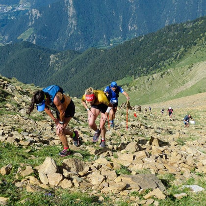
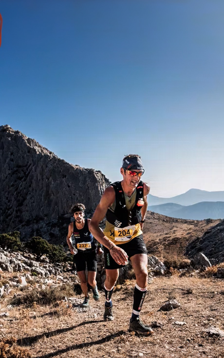
The stars of the four challenges offered by the organizers, all starting from the historic center of the small town of Oliena in the province of Nuoro, are the “Sardinian Dolomites” of the Barbagia region. The trails take the participants through the centuries-old woods of the Sardinian mountain range up to the main peaks of Supramonte, their gray rock standing out against the evergreen landscape below. Punta Corrasi (1,463 m) is the high point of multiple routes that feature differing elevation profiles but are all characterized by sweat, effort, emotion, wonderful views, and contagious smiles.


The conditions and elevation gain make the Oliena Sky Trail a real challenge: various top runners, including William Boffelli and Tadei Pivk, have chosen these rocky trails to conclude their racing season.
The mid-October race has become a distinctive event for trail running enthusiasts, who have the opportunity to experience an ever-changing blend of adrenaline, challenge, and gratification.
Since 2024, Karpos has been the main technical partner of this event that brings the sky running community together in the land of Ichnusa.
THE ROUTES

SUPRAMONTE ULTRA SKY
50 km
3900 m elevation gain


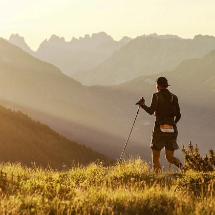
The queen race of the Oliena Sky Trail features a loop that allows you to climb the main peaks of the long Barbagia ridge, from Punta Corrasi to Punta Sos Nidos, Cusidore, and Monte Uddè. The ultra version continues along the Sovana saddle, passes through the Lanaitto Valley, and climbs up to Monte Tiscali. From here, you climb up to Monte Corrasi, which concludes the vertical push. A steep descent leads to the finish line in the center of Oliena, where you started a few hours earlier.


HUSIDORE SKY TRAIL®
24 km
1.700 m elevation gain


The “half” version of the race takes you to experience the majestic walls of the Husidore, which are reminiscent of the Dolomites. From there, you continue toward the town of Orgoi and then follow the internal ridge to the top of Monte Corrasi. The return to the finish line crosses the picturesque Scala ’e Marras trail, following the route of the ultra version.

CORRASI TRAIL
17 km
1.200 m elevation gain


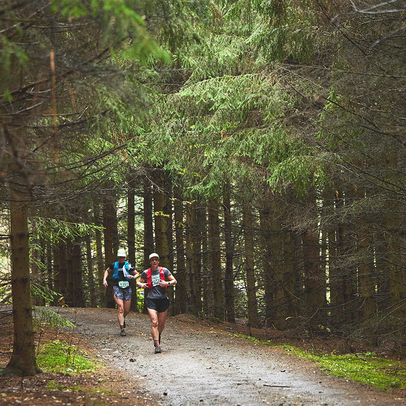
Starting from the town of Oliena, the steady, technical climb takes you up to Punta Carabidda (1,300 m), then to the inevitable Punta Corrasi, and then down from the saddle to Monte Maccione. The scenic section alternates between rocks and woods and leads you quickly back to town.

V-KARABIDDA
6 km
1.000 m elevation gain


6 kilometers to run straight up, in full-on vertical style. From Oliena you climb up to Punta Carabidda on a one-way route with 1,000 meters of elevation gain. A test for the true specialists!

OUR PARTNERS

You can compare a maximum of 5 items at once. Please Remove at least one product before adding a new one.